
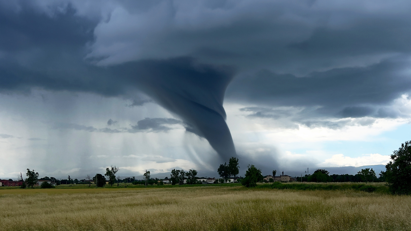
Hurricanes and tornadoes both pack serious punch, but they do it in wildly different ways. Hurricanes are broad, long-lasting storm systems that build over warm ocean water, while tornadoes are tight, violent funnels that flare up fast and fade just as quickly. The twist is that tornadoes usually win the raw wind-speed contest, even though hurricanes often cause more total damage because they cover so much ground and hang around longer.
The top wind speed ever measured at Earth’s surface came from a tornado near Oklahoma City in May 1999, when research radar recorded air moving at 301 miles per hour just above the ground. That number is staggering, and it helps explain why tornadoes are feared so much in the places where they strike most often. Hurricanes do not hit those extremes in the same way, but the strongest Atlantic storms can still reach about 190 miles per hour in sustained winds.
That difference starts with how the storms behave. A hurricane is a sprawling rotating cyclone that can stretch across hundreds of miles and stay active for days, feeding off the warm ocean beneath it. A tornado is much smaller, often only a narrow rotating column of air, and its lifespan can be measured in minutes, sometimes even seconds.
So how do scientists know how fast the wind is moving in the first place? The workhorse tool is Doppler radar, which sends out radio pulses and listens for the bounce coming back from rain, debris, and other particles in the storm. When that return signal shifts in frequency, computers can translate it into wind movement, giving forecasters a way to estimate what the storm is doing inside its core.
Sometimes the radar itself has to move. Mobile Doppler units mounted on trucks can drive closer to the action, which is exactly how some of the most dramatic tornado measurements have been captured. That kind of setup matters because storms do not sit still, and by the time a fixed radar gets a clean look, the most intense part may have already shifted.
Hurricanes often get measured with a different mix of tools. Weather stations use anemometers, those cup-style sensors that log wind over a full minute, but they need to stay in the storm long enough to collect useful data. Satellites and aircraft step in when forecasters want better detail, especially when a storm is too large or too dangerous for ground gear alone.
NOAA’s Hurricane Hunter planes are a big part of that process. They fly into the eyewall and release dropsondes, which are tube-like instruments that fall through the storm and send back wind and pressure readings on the way down. Those missions can uncover some wild numbers, including a 252 mile per hour gust recorded before Hurricane Melissa reached Jamaica in 2025.
Tornadoes are harder to pin down because they are smaller, faster, and far less predictable. A radar sitting miles away can usually spot the rotation inside the storm, but that does not always capture the real wind speed at the center of the funnel. To get closer, researchers often rely on mobile gear or aircraft-mounted Doppler systems, and even then, timing is everything.
That is where luck becomes part of the science. A tornado has to cross the right path at the right moment for a direct reading, and that is not something anyone can count on. Researchers have used aircraft-based radar, including a P-3 Orion adapted for storm work, to make some of the first direct airborne tornado measurements, but those chances are rare and hard-won.
The ranking systems are different too, and that matters when people compare the two storms. Hurricanes use the Saffir-Simpson scale, which runs from Category 1 to Category 5 based on maximum sustained wind speed. Tornadoes use the Enhanced Fujita scale, where ratings are estimated after the storm by surveying damage and comparing it with a long list of damage indicators.
That means a hurricane’s category comes from measured wind, while a tornado’s EF rating comes from what the storm leaves behind. Survey crews look at homes, towers, and other structures, then estimate the strongest three-second gust that could explain the damage. It is a messy job, but it gives meteorologists a practical way to judge storms that are often gone before anyone can get a clean reading.
