
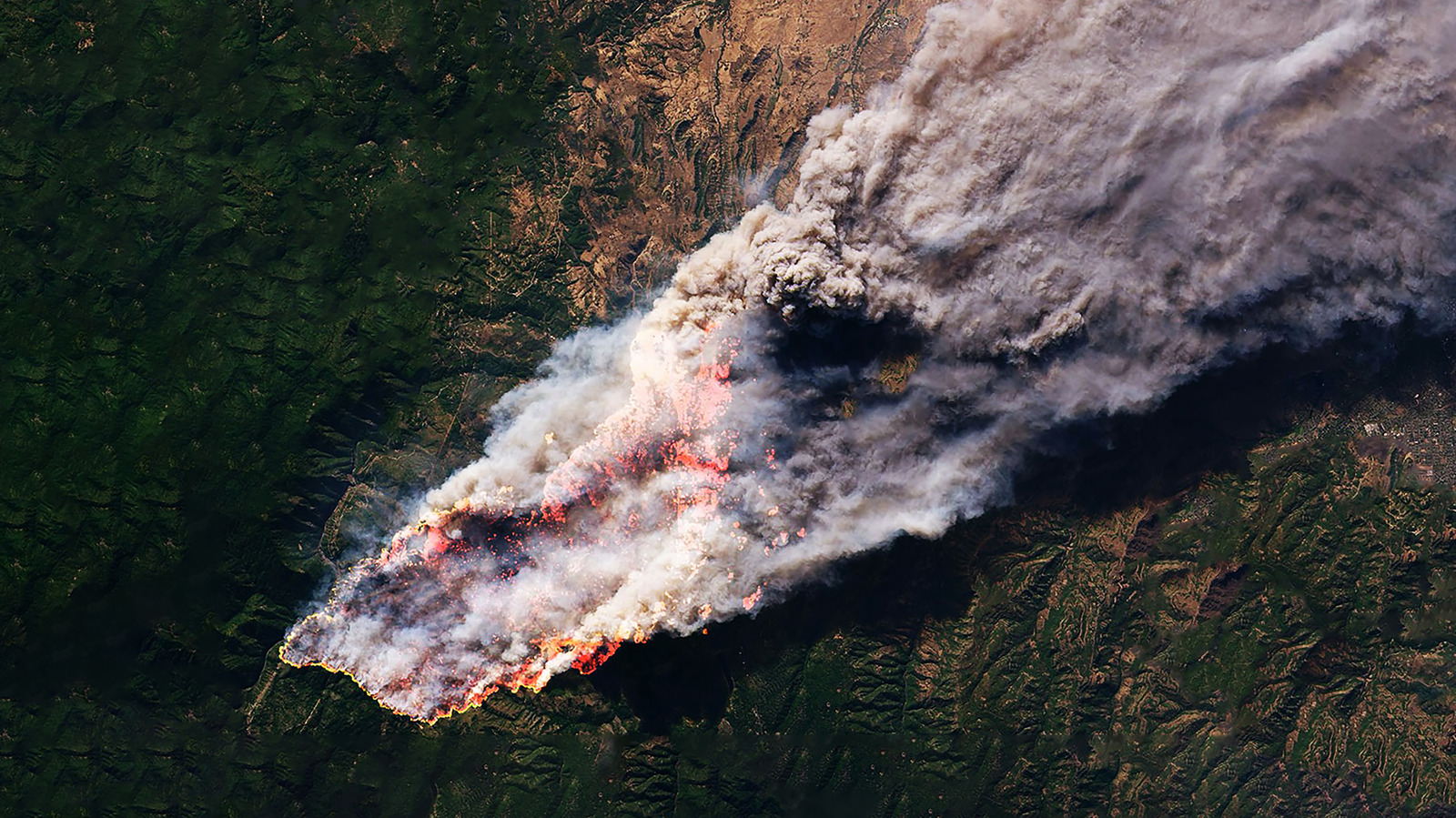
Wildfires are getting bigger, hotter, and harder to catch in time, and that has pushed satellite tech into the spotlight. A new constellation called FireSat is built to spot blazes before they have a chance to explode into major disasters, and it is already showing why early detection matters so much.
The first wave of FireSat satellites went up on July 7, 2026, riding aboard SpaceX’s Transporter 17 mission. Three active satellites are now in orbit, and they follow up on a prototype called Protoflight that spent a year collecting more than 1 million multispectral infrared images while proving the concept in real conditions.
That prototype did more than just look pretty from space. It caught actual wildfires and even found a small roadside fire in Oregon that other systems missed, which is exactly the kind of edge emergency crews need when every minute counts.
FireSat is being led by Muon Space with support from the Earth Fire Alliance, plus backing from groups including Bezos Earth Fund, the Betty Moore Foundation, and Google. The goal is not just to launch cool hardware, but to build a system that can help reduce fire damage by more than $1 billion a year in the United States alone.
Each FireSat spacecraft is based on the Condor-M satellite, a modular design made for low-Earth orbit. What makes the system special is its multispectral infrared setup, which captures six separate infrared bands and can spot fires as small as about 16 square feet, even through smoke or cloud cover.
That kind of sensitivity is a big deal because wildfires do not always announce themselves with giant flames right away. FireSat is also built to cut down on false alarms and pick up lower-temperature heat signatures, which helps separate real danger from a harmless hot spot.
Each satellite can scan a wide stretch of land, covering about 930 miles per pass. On top of that, the system uses the Muon Halo platform for fast processing, so it can handle the flood of data without making people wait forever for an answer.
Artificial intelligence plays a major role here too. With help from Google, FireSat compares current images with thousands of past views from the same location, while also factoring in weather and other conditions before deciding whether a thermal anomaly is actually a fire.
Right now, the three-satellite setup can image fire-prone locations on Earth about twice a day. That is useful, but it is only the start, because the full network is meant to make repeated scanning much faster and much more useful for fast-moving emergencies.
The long-range plan calls for 50 satellites total, which would allow every spot on Earth to be imaged about once every 20 minutes, with dangerous regions checked even more often. EFA and Muon Space also want to push vulnerable areas to hourly imaging by 2029, which could be a huge upgrade for early warning.
That urgency makes sense when you look at how fire seasons are stretching out and getting nastier. Drought, heat, and warmer nights are helping fires stay alive longer, and many blazes still start because of human activity, including things as ordinary as a vehicle in a driveway.
The scale of the problem is already severe. According to the National Interagency Fire Center, tens of thousands of fires have burned through millions of acres in the U.S. this year alone, and smoke from those fires keeps hammering air quality, public health, and the people trying to stop the flames.
FireSat will not stop every fire, and it will not replace ground crews, but it gives firefighters a serious head start. When a tiny ignition can be caught before it turns into a raging wall of fire, that changes everything for the towns, forests, and families caught in its path.
