
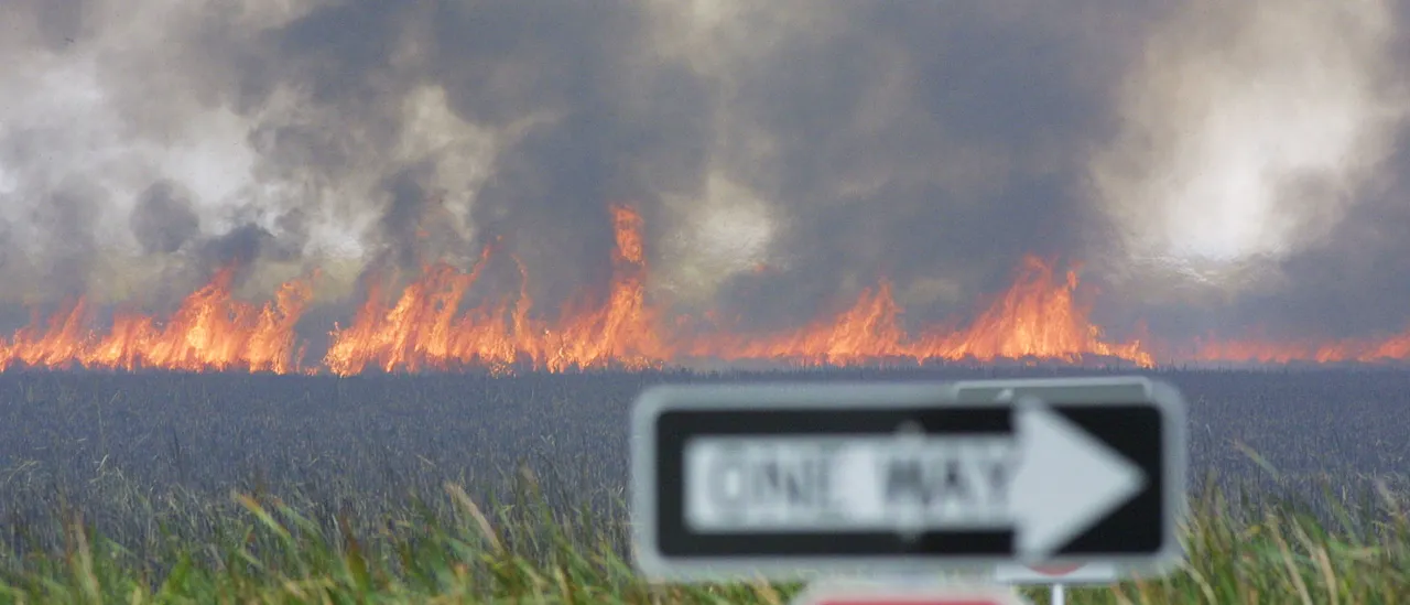
A fast-moving wildfire in South Florida’s Everglades blew up to roughly 25,000 acres and became visible from space, sending aviation and ground crews scrambling and prompting burn bans across a broad swath of counties. Officials say the blaze started in Big Cypress National Preserve and expanded from an initial estimate of around 5,000 acres to a far larger, more dangerous footprint in a short time.
The fire, known locally as “The National Fire,” erupted on Sunday in the Big Cypress area and forced an aggressive response from firefighting teams. Air tankers and helicopters have been dropping water and retardant while crews on the ground work to build lines and protect key infrastructure. Conditions have made containment difficult and kept incident commanders on high alert.
Satellite imagery from NOAA captured the fire’s rapid growth and the vast plume of smoke that pushed high into the atmosphere, making the burn visible from space. Those images provided an unnerving bird’s-eye view of how fast things changed on the ground and helped planners decide where to send resources next. The visuals also clarified just how widespread the smoke impact could become as winds shift.
Local authorities issued burn bans across multiple counties to stop new ignitions while firefighters try to get the blaze under control. Counties affected include Charlotte, Collier, Glades, Hendry, Highlands, Lee, Martin, Okeechobee, Osceola, Palm Beach, Polk and St. Lucie. Officials emphasized that restricting outdoor fires is a simple but critical step to reduce further risk while conditions remain volatile.
Surface winds and an extremely dry air mass have been major contributors to the fire’s behavior, helping flames spread faster than in more humid conditions. That explosive behavior is the reason crews are using every tool they have, from aviation assets to dozer lines, to protect communities and sensitive wetlands. Fire managers are also watching fuel conditions closely because dry grasses and shrubs act like kindling in this weather.
“Wind fields in the vicinity of wildland fires can be highly variable or turbulent, exhibiting significant gusts that can lead to erratic fire behavior and enhanced mixing of smoke into the atmosphere,” reads a statement from the U.S. Department of Agriculture Forest Service. That exact warning reflects what crews on the ground are seeing: sudden gusts, variable wind directions and smoke that can surge into populated areas with little notice.
No immediate evacuation orders were in place at the time officials reported the acreage, but that status could change quickly if winds or fire intensity shift. Residents in nearby communities are being asked to stay aware, keep windows and doors closed against smoke, and follow any guidance from local emergency management. Air quality monitors may show elevated particulate levels downwind, and people with respiratory issues should be cautious.
Preliminary reporting indicates the fire was human-caused, according to public air quality and wildfire tracking sources. Investigators will work to determine the exact origin and whether charges or fines are appropriate, but the immediate priority remains stopping the spread and protecting life and property. Fire officials also said preventing new ignitions during this high-risk period is a top priority.
Firefighting teams are balancing aggressive suppression with protection of the Everglades ecosystem, which can be harmed by both uncontrolled burns and heavy-handed tactics. Crews are prioritizing lines that shield communities and critical habitats while allowing managed burns where safe to reduce future fuel loads. Weather forecasts and satellite feeds will continue to guide those decisions through the next several days.
As operations continue, authorities are urging residents to heed burn bans, avoid any activities that could spark new fires and keep tuned to official channels for updates. Fire crews remain on scene and support teams are rotating in to sustain long hours of work in difficult conditions. The situation is active and being closely monitored as crews fight to limit the blaze’s reach and protect the landscape and nearby towns.

1 Comment
Surely Arson is involved, not unlike all those Outback Australian Catastrophes!